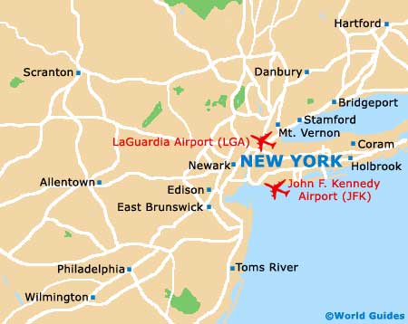
New York LaGuardia Airport (LGA)
Orientation and Maps
(New York, New York (NY), USA)
Home to the world-famous Statue of Liberty amongst other major landmarks, the city of New York lies close to Jersey City, Newark and North Hempstead. The main district in New York is the Manhattan area, which is located on a peninsula setting.
New York's second airport after JFK, LaGuardia Airport (LGA) is sited on the eastern outskirts, close to College Point, East Elmhurst and Jackson Heights. The airport is well connected to the city center, standing next to the I-278 Grand Central Parkway. Within the city itself, New York operates a busy subway network of underground trains, which is the cheapest and quickest way to travel around Manhattan and surrounding districts. On the roads, numerous iconic yellow taxis zoom around and are easily hailed.
New York LaGuardia Airport (LGA) Maps: Important City Districts
A building known around the world, the Pennsylvania Train Station (Penn Station) is located between 7th Street and 8th Street and has appeared in a number of major blockbuster movies over the years. Many Amtrak rail services operate here, with popular destinations including Albany, Boston and Philadelphia, amongst others.
Brooklyn is the most densely populated of New York's outer suburbs and is home to more than two million people. Queens is actually the biggest and most spreading district, with a diverse community speaking over 100 different languages.
On the northern side of downtown Manhattan, Washington Heights is a surprisingly rural part of New York, featuring Fort Tryon Park and the Cloisters. Nearby, the Bronx is a particularly diverse neighborhood, with highlights including the vast New York Botanical Gardens and the Yankee Stadium, where many major baseball matches take place each year.
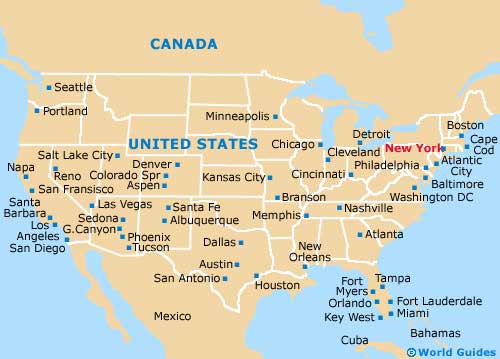
USA Map
New York State Map
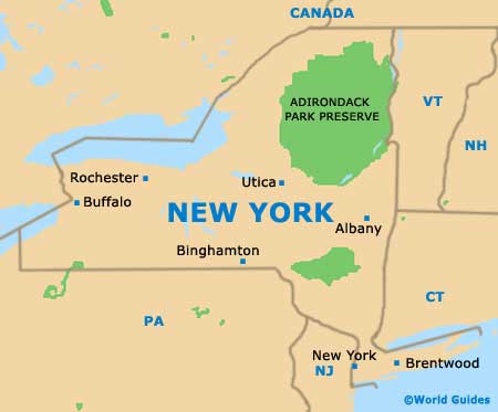
New York Map